Michigan is a state known for its backpacking opportunities. Whether you’re an experienced hiker or just someone who likes to hike on the occasional weekend, there are plenty of amazing places to hike in Michigan.
Home to far-stretching lakes and sky-bound dunes, the landscape varies far and wide. However, my favorite part is the fact that we have all four seasons, so each hiking spot has a whole different look, feel, and experience depending on the time of year.
There are countless backcountry trails that are perfect for the avid backpacker, but there are also some locations that you may not know about yet.
In this post, we will discuss some of the best backpacking in Michigan locations. If you’re looking to maybe have an epic Michigan summer road trip and enjoy backpacking in one of America’s most beautiful states, check out these amazing hidden gems!
Does Michigan have good hiking?
Yes! Michigan is known for its great outdoors and has amazing hiking.
Michigan has more than 13,000 miles of state-designated trails, and it offers some of the most beautiful hikes and backpacking trips for nature lovers – especially if you’re looking for fall colors.
Is backcountry camping allowed in Michigan?
The answer to this question varies from location to location. For the most part, backcountry camping is allowed in designated areas of Michigan’s state parks and forests. But it’s always best to check with the park or forest ranger before setting up camp.
Where is the most remote place in Michigan?
Beaver Island (my most favorite place in all of Michigan!). The Island is 31 miles off the coast of Charlevoix and is accessed by a two-hour ferry ride or via plane. It has a beautiful shoreline and a yearly summer music festival!
What is the prettiest part of Michigan?
This is a difficult answer considering there is such a large variety of terrain and more than 3,200 miles of pristine coastline.
Michigan is a hiker’s paradise, with its many state parks, forests, and miles of trails waiting to be explored.
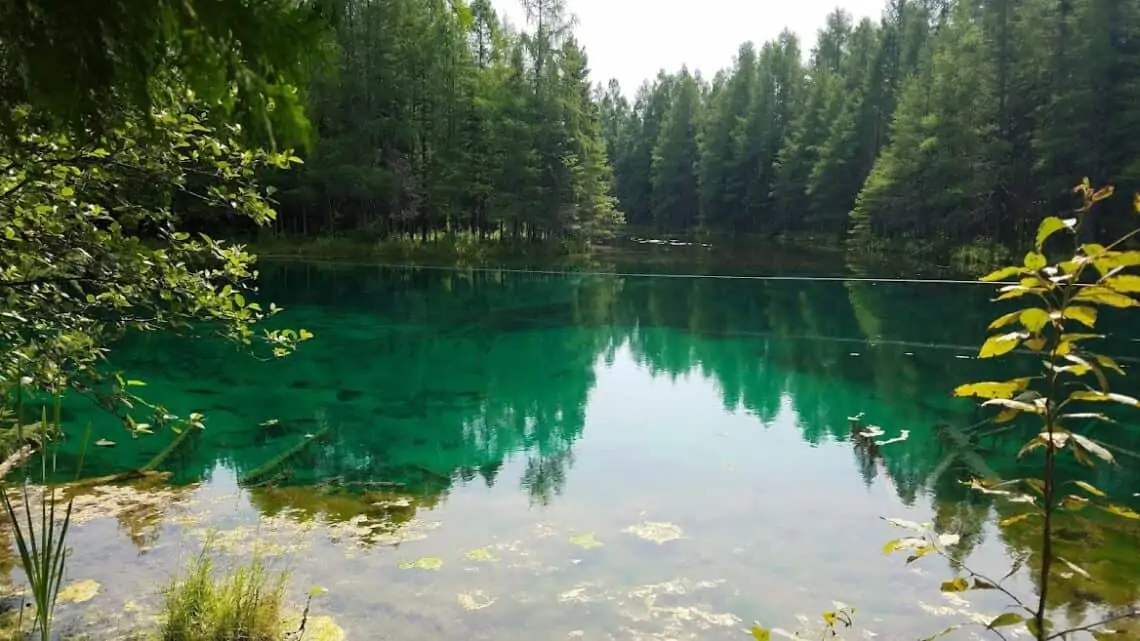
Some of the most beautiful spots include Picture Rocks National Lakeshore, the Porcupine Mountains, and Kitch-iti-Kipi, but you will have to hike some of your own places to decide for yourself.
Best Trails for Backpacking in Michigan
The Great Lakes State is home to lakes beaches, sand dunes, waterfalls, and impressive forests. With so many different landscapes from forest trails to rock scrambling, there’s something for everyone.
But with 83 counties in our state, finding new places can be tough if you don’t know where to look. So here are a few of my favorite hidden gems that you might not have known about before:
Trail #1 Empire Bluff Trail (Honor, MI)
Difficulty: Easy to Moderate
Type of Trail: 1.5 miles In and Out
Trail Overview: This is a fairly short hike, but it does have an incline with some haphazard stairs to climb.
It is a beautiful walk through the woods just west of Traverse City. There are spots along the way to stop and overlook the valleys along the shoreline of Lake Michigan.
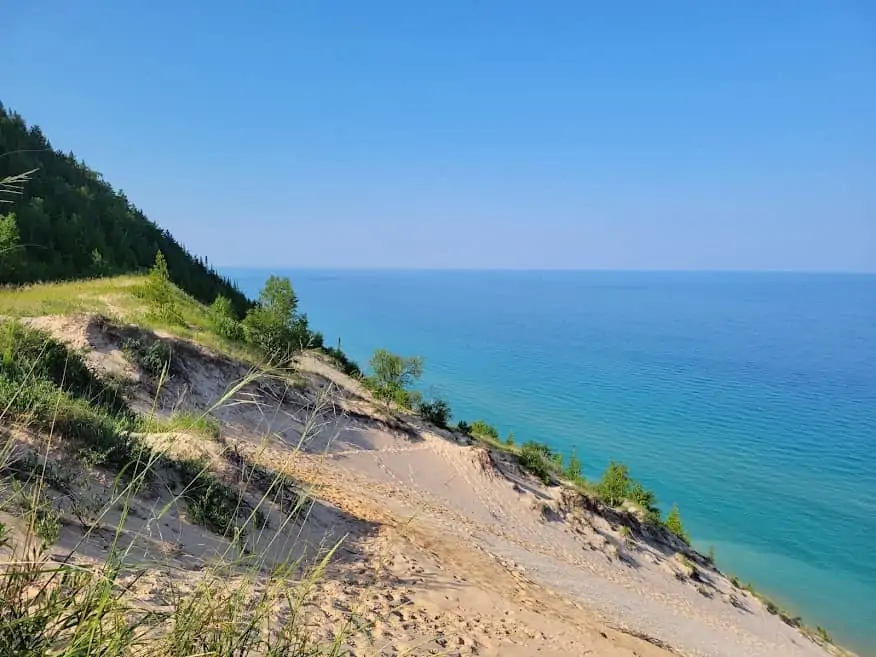
When you reach the top, there is a wooden boardwalk that leads along the edge of the cliff overlooking Lake Michigan. The sapphire water against the sandy shore and the green forest is breathtaking.
There is a small area with seating in case you want to enjoy the view or have a quick picnic.
Best time to visit: Empire Bluff Trail is open all year, but the best times to explore are summer and fall.
How to get there: 1.7 miles south of Empire, MI, take Wilco Road off of M-22.
Trail #2 Porcupine Mountains Wilderness State Park (Ontonagon, MI)
Difficulty: Easy to Challenging
Type of Trail: 1 to 17 miles: day hikes to five-day backpacking loop
Michigan’s Porcupines Mountains Wilderness State Park is home to an impressive old-growth forest, many miles of shoreline trails along Lake Superior. There are 63 backcountry campsites, 18 hike in cabins, and even yurts.
The Scenic Lookout at Lake of the Clouds Scenic Area is certainly one of the most popular activities for day visitors to the Porkies, and it’s a must-see.
Starting at the Lake of the Clouds trailhead, the trail will lead you to an overlook with pristine blue waters surrounded by rocky ridges and the foliage of the woods.
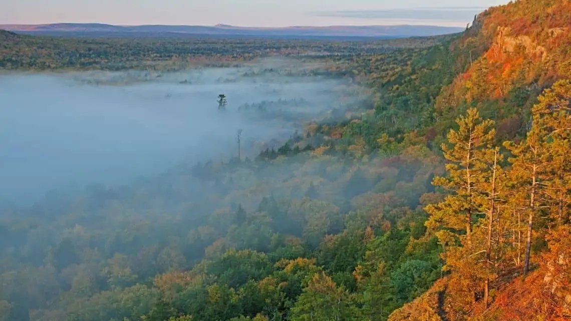
Then, you will immerse yourself into the woods of the north and the solitude of the area. It is filled with rivers, inland lakes, rocky ridges, and so much more.
The rugged and pristine beauty of the mountain range is quickly evident amid the verdant forests and the clear waters of Lake Superior.
This is a very secluded area, and it is important to be aware of the variety of wildlife in the area including black bears. It is important to be prepared when hiking.
Best time to visit: The area is exceptionally beautiful in the early fall but do not wait too long, snow falls early in the upper peninsula.
How to get there: Trails can be accessed in the Porcupine Mountains Wilderness State Park.
Trail #3 Beaver Island
Difficulty: Easy to Moderate
Type of Trail: varies
There are more than 100 miles of hiking trails on Beaver Island! You will need to take a two-hour ferry from Charlevoix or one of the local flights to get to the Island.
By ferry, you will arrive in St. James where you can take a hike around St. James and the gorgeous blue shorelines stretching out around all sides of the island. It is a fairly easy hike and highlights the few local conveniences available on the island.
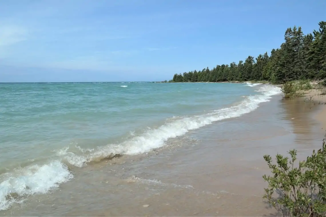
If you are looking for something more remote and a little more rugged, there are other campgrounds and trails around the Island.
However, it is important to stick to public trail maps because there are a lot of private trails and homeowners. It is also important to bring transportation to the island.
There are no taxis or ubers, but cars, all-terrain vehicles, and bikes can be brought over on the ferry for a few. If you want to travel around the island, you will need your own wheels.
If you bring a bike and are up for some miles, there is hiking at Mt. Pisgah, Little Sand Bay Nature Preserve, and Barneys Lake Nature Preserve.
Camping is permitted in designated areas, and there is lodging in St. James.
Best time to visit: It is best to explore the Island in the summer or early fall.
How to get there: Take the Beaver Island Co Ferry out of Charlevoix, MI.
Trail #4 River Trail Tahquamenon Falls State Park
Difficulty: Moderate to Difficult
Type of Trail: 4 miles In and Out
If you aren’t from Michigan, you may not realize that the state has a lot of waterfalls, especially in the Upper Peninsula.
The largest in most impressive in the state is the Upper Falls of Tahquamenon spanning 200 feet wide and 50 feet tall. There are also the lower falls which are smaller without as many overlook areas.
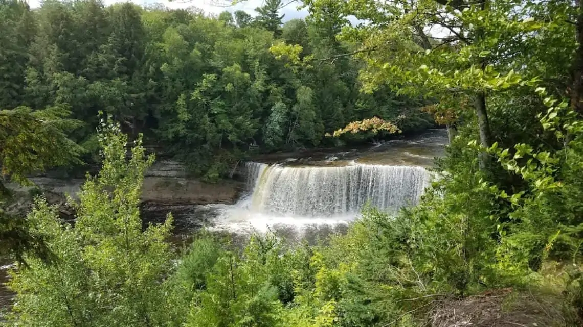
The hike winds through the woods of the State Park with prime overlooks to see the Upper falls. Then, follow the trail down to see the lower falls. There is also a boardwalk near the trailhead for some great overlooks as well as a place to rest and eat some lunch.
There are also a variety of other hiking loops that will take you around the park and enjoy the serene woods of northern Michigan.
Best time to visit: It is beautiful in the fall with the Autumn colors. It is also a little cooler and fewer people.
How to get there: Trailhead is in the parking lot of the Tahquamenon Falls State Park
Trail #5 Dry Hills Trails (Arcadia Dunes at The C.S. Mott Nature Preserve)
Difficulty: Moderate to Difficult
Type of Trail: 11 mile loop
The Dry Hills Trail will take you beyond the immense sand dunes on the shores of Lake Michigan and through to the Dryhill Grasslands.
It is the perfect spot to do some bird watching and experience the very diverse ecosystems that co-exist in harmony next to one another.

There are also smaller loops as well as a boardwalk and overlook of the Arcadia Dunes.
It is very sandy with little to no shade in some areas so it is best to go in the morning.
Best time to visit: Summer is one of the most beautiful times to see the dunes.
How to get there: The loop starts at the St. Pierre trailhead on St. Pierre Rd off of M-22.